Modern Surveying Instruments: Learn About Total Station, EDM, and GPS
What are Modern Surveying Instruments?
New surveying instruments are advanced technological equipment measuring the earth surface precisely and marking it, returning accurate measurements and data acquisition. The modern surveying instruments further modernized surveying by introducing efficient, faster, and newer means as opposed to old surveying instruments like chains, tapes, compass, and theodolite.

New surveying instruments examples are the Global Positioning System (GPS), the three-dimensional (3D) laser scanners, and the total stations. The total stations are electronic distance meters (EDMs) and electronic theodolite packaged together measuring precisely distance and angles. The Global Positioning System (GPS) utilizes the satellite system so as to achieve accurate positions and elevations and provide real-time data acquisition and mapping. The three-dimensional (3D) laser scanners use the utilization of the beam of the laser so as to achieve detailed, high-resolution data points as point clouds so as to provide very accurate three-dimensional models of terrain and buildings.
New generation instruments have significantly increased survey data quality, enabling efficient processing, real-time data acquisition, and accurate analysis of terrain. These instruments have simplified survey work, reducing time and efforts invested conducting field work, returning unmatched accuracy and dependability.
Types of Modern Surveying Instruments
Modern surveying instruments involve various categories of modern equipment and instruments that modernized the land surveying environment. These instruments are engineered so as to provide very accurate, efficient measurements, data acquisition, and analysis. Examples of commonly practiced modern surveying equipment are:
- Total Stations: These are multifunctional accurate measuring equipment that combine electronic distance meters (EDMs) and electronic theodolite. These measure horizontal, vertical, and distance, enabling surveyors accurately to locate the positions of earth surface points.
- Global Positioning System (GPS): Global Positioning System (GPS) utilizes an orbiting network consisting of satellites orbiting the earth, providing accuracy location and position information. Surveyors use the utilization of the GPS receiver, calculating the positions of the points, an invaluable tool when completing extensive surveys, maps, and way finding.
- 3D Laser Scanners: High-technology equipment utilizes the utilization of laser technology, scanning very accurate images, three dimensional, of objects, buildings, terrain. Laser scanners scan million points very rapidly, creating accurate models, images.
- Prisms and Prism Poles: Prisms are specialized reflectors specifically produced so as to cooperate together with total stations, other surveying equipment, so accurate measurements may be recorded. Prism poles are variable, light poles so the prisms may be installed, predetermined heights, so accurate measurements may be recorded.
- Photogrammetry Drones: Unmanned Aerial Vehicles (UAVs) or drones containing very detailed cameras are being utilized by surveyors, other surveying users, due to the ability it has, collecting photographs from the air, creating detailed, very accurate models, orthophotos, very useful data, many surveying endeavors.
- Laser Distance Meters (LDMs): LDMs are instrumented, compact units utilizing the utilization of laser technology, providing quick, accurate distance reading. LDMs are reserved, like Huepar LM200C - 200M Laser Distance Meter typically shorter measurements, perhaps especially useful, confined areas, areas with little accessibility.
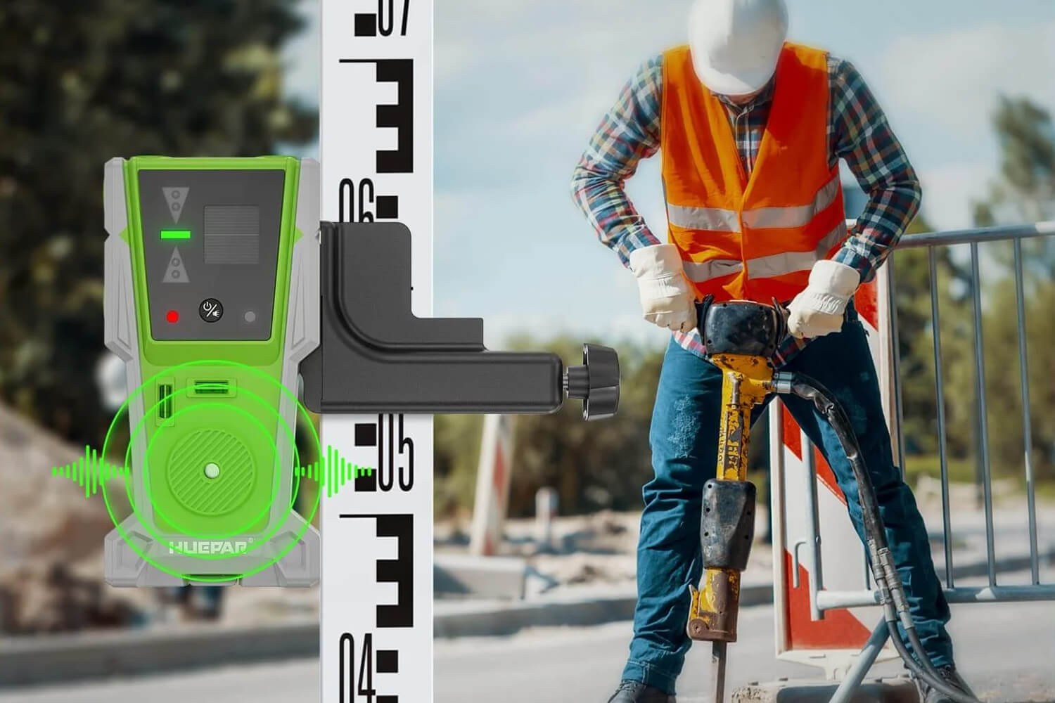
- Leveling Staffs: Leveling staffs are graduated rods coupled together, together with leveling instruments, including auto level instruments, so elevation variation may be established, points. Leveling staffs are an invaluable tool, survey work requires accurate vertical measurements.
- Auto Levels: Optical surveying equipment, auto levels are surveying equipment measuring level, as well as elevation difference. These instruments have an auto leveler, an instrument comprising an unwavering line vision, so these instruments are very accurate as well as efficient enough to perform surveying work for an extensive surveying range.
Auto surveying equipment has increased surveying work, accuracy, as well as efficiency, so surveyors are able to obtain data, as well as analyze it, efficiently.
Electronic Distance Measurement (EDM) Instruments
Electronic Distance Measuring (EDM) equipment are one recent surveying equipment that utilizes electromagnetic energy waves to measure distance precisely. EDM equipment have changed surveying by giving very accurate, efficient, and quick distance measurements, replacing old equipment like tapes or chains.

Electronic distance measuring equipment are categorized under three categories, relying on electromagnetic wave:
Infrared Wave Instruments
Infrared equipment measure distance by means of infrared waves. Infrared equipment are mostly seen in indoor measurements, as well as near-range measurements out of doors, due to convenience, as well as mobility.
Light Wave Instruments
Light wave EDM equipment, like Geodimeter, measure distance by means of visible light waves. These equipment measure distance accurately over several kilometers. Geodimeters are mostly seen in extensive surveying projects, including construction, surveying, mine surveying.
Microwave Instruments
Microwave EDM equipment, like the Tellurometer, measure distance by means of microwave signal. Microwave equipment measure distance accurately over hundreds of kilometers. Microwave equipment are mostly seen in surveying projects over extensive areas, including surveying mega-scale infrastructure projects, geological surveys, etc.
Every EDM equipment has limitations, instrument choice relying upon accuracy, range, as well as environment demands. However, EDM equipment, irrespective of equipment type, have greatly increased efficiency, as well as accuracy, in distance measurements in modern surveying.
Total Station
Total stations are very sophisticated surveying equipment that combine an electronic theodolite, an electronic distance measure (EDM), as well as microprocessor. These equipment are very useful, versatile, as well as provide various powerful functions, enhancing surveying work.
Features:
-
Digital Control: Total stations are equipped with a keyboard or touch screen display, allowing for easy data input, instrument settings, and command execution.
-
Remote Height Measurement: With the ability to measure heights and vertical distances without physically accessing the target, total stations save time and improve safety in challenging environments.
-
Coordinate Storage: Total stations can store vast amounts of coordinate data, eliminating the need for manual note-taking and reducing the risk of transcription errors.
-
Point Location: These instruments can accurately locate specific points based on their coordinates, making it easier to identify and mark locations on the job site.
-
Angle Measurement: Total stations use precise angle measurement systems, such as encoders or microscopes, to determine horizontal and vertical angles with exceptional accuracy.
-
Distance Measurement: Integrated EDMs enable total stations to measure distances using various techniques, including infrared, laser, or prism-based methods, ensuring high-precision measurements over long ranges.
-
Coordinate Measurement: By combining angle and distance measurements, total stations can calculate 3D coordinates of surveyed points, providing a comprehensive spatial representation of the terrain or structure.
-
Data Processing: Built-in microprocessors and software allow total stations to process and analyze survey data on-site, enabling real-time decision-making and efficient workflow management.
Total stations have changed the surveying field by giving accuracy, efficiency, convenience, multifunctional, single instrument. Their capabilities, sophistication, have rendered them an essential tool, invaluable tool, essential tool, by surveying, construction, mining, civil, land surveying, etc. professionals.
Global Positioning System (GPS)
Global Positioning System (GPS) refers to an orbiting, constellation, radio, navigational system, giving accurate, location, velocity, time data, users, globally. It has three chief elements:
Components:
-
Satellite Segment: This segment comprises a constellation of 24 satellites orbiting the Earth at an altitude of approximately 20,200 kilometers. These satellites continuously transmit radio signals containing position and timing information.
-
Control Segment: The control segment consists of a network of ground control stations that monitor the satellites' health, maintain their orbits, and update their clock and navigation data.
-
User Segment: The user segment includes GPS receivers that can be handheld devices, vehicle-mounted units, or integrated into various systems. These receivers calculate their position by processing signals from multiple satellites.
Working Mechanism:
GPS receivers discover location by trilatering, measuring distance to minimum four satellites. The receiver determines distance to every satellite by calculating time it takes by the signal broadcast by the satellite arriving at the receiver. Having known positions of the satellites, it determines distance, the receiver determines exact location on Earth.
Advantages:
-
No Intervisibility Required: Unlike traditional surveying methods, GPS does not require a direct line of sight between points, enabling measurements in obstructed or challenging environments.
-
Weather Independence: GPS signals can penetrate clouds, fog, and other atmospheric conditions, making it a reliable surveying tool in various weather conditions.
-
High Accuracy: Modern GPS receivers can achieve centimeter-level accuracy, providing highly precise position data for surveying and mapping applications.
-
Flexibility: GPS can be used for a wide range of applications, including land surveying, construction, mining, agriculture, and navigation.
Limitations:
-
Clear Sky Visibility: GPS signals can be obstructed by buildings, trees, or other obstacles, limiting its effectiveness in urban areas or dense environments.
-
Limited Urban Application: In urban areas with tall buildings and narrow streets, GPS signals can be reflected or blocked, leading to reduced accuracy or signal loss.
-
Skilled Labor Required: Operating and interpreting GPS data effectively requires trained personnel with expertise in surveying and geodetic principles.
GPS has revolutionalised surveying by providing accurate, consistent, and predictable location data, generating efficient data acquisition, and mapping processes across many applications.
Automatic Levels
Automatic levels, also known as builders' levels, or self-leveling levels, are surveying instruments that provide an unvarying horizontal line of vision, regardless of instrument tilt. A compensation by an optical compensator achieves this by bending the line of vision automatically so it remains level, even if the instrument tilts by the minimum.
An optical compensator exists in the form of a pendulum, one that balances any deviation away from level by bending the line of vision by an equal amount. Through this, the line of vision remains level, allowing accurate height measurements, as well as level work.
Automics enjoy various advantages over antiquated level instruments, first being increased speed, accuracy, as well as convenience. Due to the possibility by an unvarying line of vision, time-wasting adjustments are no longer necessary, nor does human error need to account. Automics also tend to accommodate complex functions, such as display by numbers, data storage, as well as wire connectivity, further advancing efficiency, as well as convenience, in modern surveying processes.
Conclusion
New surveying instruments have revolutionized surveying, as well as cartography, by providing previously unheard accuracy, efficiency, as well as convenience. The invention of innovations, such as total stations, GPS, as well as laser scanners, has significantly simplified data acquisition, allowing surveyors obtain detailed, accurate measurements an incredibly shorter time, versus antiquated processes.

With further technological advancement, surveying has an even brighter future. Advancement, including areas touched by augmented reality, AI, as well as computing over the cloud, ensures further increased capabilities by surveying instruments, allowing data visualization near-real time, data processing automatically, as well as remote collaboration, on an unseen magnitude.
In conclusion, recent surveying equipment has changed the surveying industry, whereby surveyors work faster, accurately, and exhaustively ever before. Through these recent technologies, surveyors continue active defining both the natural environment, as well as the built environment, by providing accurate measurements, as well as well-informed decision-making, for various usages.
FAQs
What type of clock is used as a receiver in GPS?
Very accurate rubidium, or cesium, atomic clocks are used by receivers by the GPS to measure the time it takes the signal from the GPS satellites. These very accurate time offers, essential for accurate functioning by the GPS.
What is the difference between GPS and GIS?
GPS (Global Positioning System) is an earth-orbiting system, that provides location, as well as time, data. It has the purpose of finding accurate location (geographic coordinate location) by measuring distance. GIS (Geographic Information System), by way of contrast, computer programming created by it, exists to capture, store, manipulate, analyze, administer, as well as display, spatial, or geographic, data. GIS has various data sources, as well as analyzing relations, both spatial, of data.
What is remote sensing?
Remote sensing involves detecting, as well as tracking, an area's physical attributes by measuring the radiation it reflects, as well as emits, away from the region targeted. It involves collecting data relating to an object, or occurrence, by not actually touching it. Examples are plentiful, including images taken by satellites, air photographs, as well as by radar.
What is the difference between active and passive remote sensing?
Active remote sensing transmits radiation from an active source and returns backscattered or reflected radiation from the target. Examples are radars, lidars, and sonars. In contrast, passive remote sensing detects naturally radiated or backscattered radiation by the observed entity or region. Examples are photographs by satellites, as well as air photographs, relying on sunlight.
